This lake is a former mining area that is popular among local residents, especially on weekends. At this time, the facilities provided for visitors is the hawker stalls. Among the activities carried out on the lake, including swimming and jet skiing game that has become increasingly popular nowadays.
 |
| The main activities of visitors. |
Tasik Biru Seri Kundang is a lake located at Seri Kundang, Rawang, Selangor. It is an ex-mining lake that used to be developed long time ago during the British period. During its olden days, the lake was used to be the biggest mining area in Rawang district, and one of the biggest in Selangor as well. It is about 25 km to the north from Kuala Lumpur.
 |
| If you go there, do not forget to take photos as memories. |
After the colonial time, Tasik Biru is set to be a water sports and recreation centre for the local and foreign tourists. The area surrounding the lake, encompassing about 32 hectares (80 acres) would be upgraded with a recreation area and a jogging track around the lake.
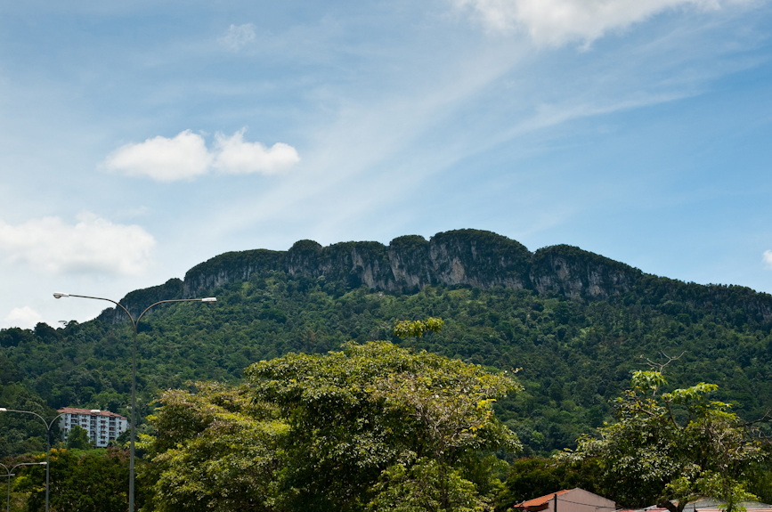
History
Tasik Biru or literally means 'blue lake' is said to have the name due to its blueish colour that caused by the depth of the lake itself. Some said, the colour is greenish as well. The lake has an island at its centre, make it different as any other recreational area in Selangor. For the local folks, there is a story saying that the island is floating by itself. Most of the people believe it is just a mystic.
Activities
Tasik Biru is also a well-known recreational area among those who love water-skiing, canoeing and yachting. The lake is also famous with its status as a multipurpose area, from water activities until the film shooting site. One of the famous film that used Tasik Biru as its location was Bara, a film by Datuk Yusuf Haslam.
 |
| Playing on the edge of the lake water. |
How to get there?
To visit Tasik Biru, people may take buses or taxis but due to the inefficient public transportation system, it is advisable to come with private transport or carpool. Those who come from Kuala Lumpur may choose to take the Rawang Interchange EXIT 116 from the North-South Expressway, the Guthrie Corridor Expressway from Rawang South Interchange EXIT 115, the road from Batang Berjuntai or the trunk road to Rawang.
As an alternative way, one can take MRR2 or LDP heading towards Kepong and take the signboard to Sungai Buloh or Kuang. People who come by komuter train, may drop by at Sungai Buloh, Kuang or Rawang station.